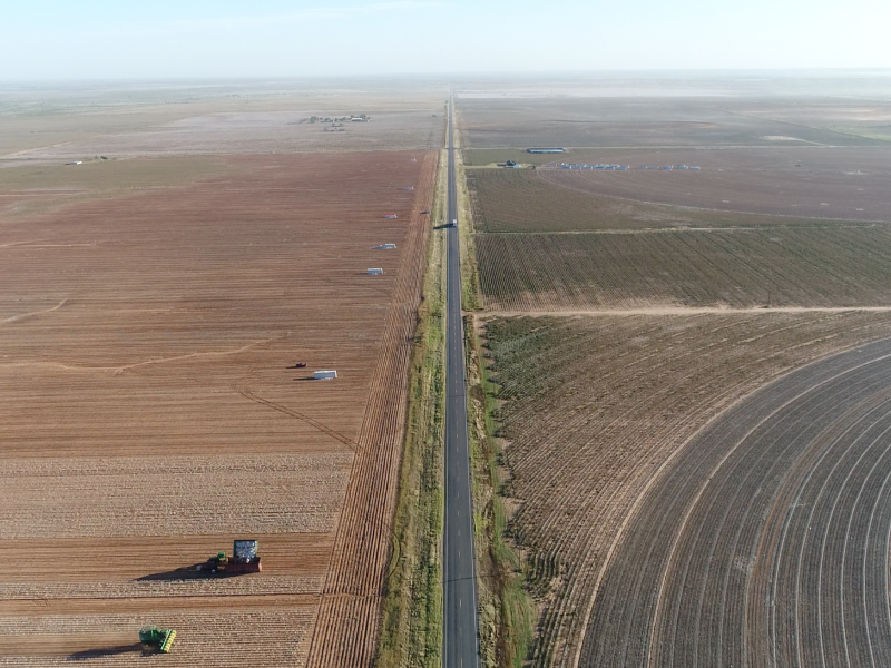
THIS IS LIKELY THE LONGEST CONTINUOUS DRONE FOOTAGE EVER RECORDED
There is no more powerful tool in storytelling than a memorable image. The documentation of a landscape could be executed in a multitude of different ways, however, few capture the attention and imagination of the viewer like aerial imagery. Aerial imagery provides us an opportunity to see our own world in impossible ways, it allows us to take flight and look down upon our landscapes, cities, and ultimately ourselves instilling within us a sense of humbleness and modesty towards the fragility of our planet.
The goal of this project is to document the current state of the landscape in the Great Plains region of the US. The method of the project is a continuous drone film, covering nearly 1000 miles. Our aim is to document and expose the scale and traces of climate change induced droughts, methodologies being used to mitigate the increasing water shortage, and to predict the trans-formative future that is in store for the landscape. While we are not specifically calling for any conservation efforts with this project we wholeheartedly believe that there is a dire need for a fresh and new way to document and study the landscapes we are transforming.


